Natural environments are often fragile and may be damaged
June 29, 2022
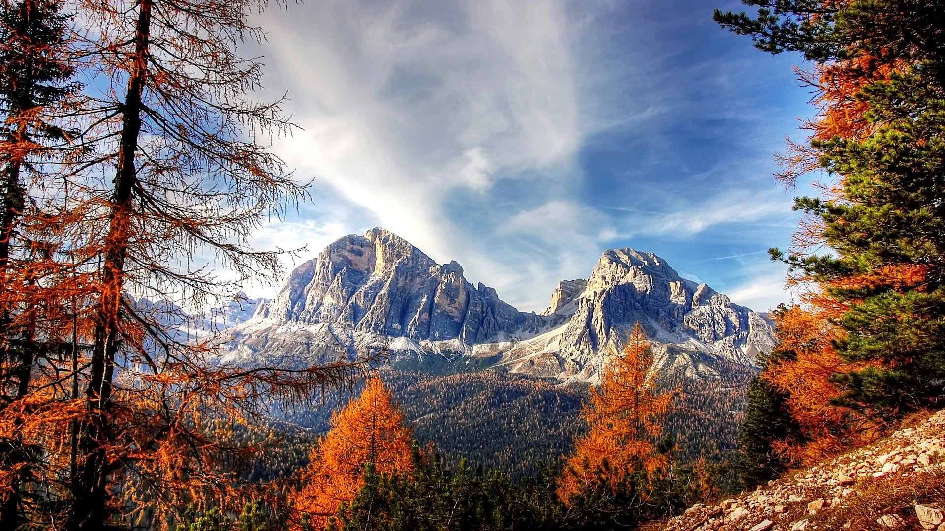
Lassen Peak, commonly referred to as Mount Lassen, is the southernmost active volcano in the Cascade Range of the Western United States. Located in the Shasta Cascade region of Northern California, it is part of the Cascade Volcanic Arc, which stretches from southwestern British Columbia to northern California. Lassen Peak reaches an elevation of 10,457 ft (3,187 m), standing above the northern Sacramento Valley. It supports many flora and fauna among its diverse habitats, which are subject to frequent snowfall and reach high elevations.
A lava dome, Lassen Peak has a volume of 0.6 cu mi (2.5 km3) making it the largest lava dome on Earth. The volcano arose from the former northern flank of now-eroded Mount Tehama about 27,000 years ago, from a series of eruptions over the course of a few years. The mountain has been significantly eroded by glaciers over the last 25,000 years, and is now covered in talus deposits.
On May 22, 1915, a powerful explosive eruption at Lassen Peak devastated nearby areas, and spread volcanic ash as far as 280 mi (450 km) to the east. This explosion was the most powerful in a series of eruptions from 1914 through 1917. Lassen Peak and Mount St. Helens in Washington were the only two volcanoes in the contiguous United States to erupt during the 20th century.
Lassen Volcanic National Park, which encompasses an area of 106,372 acres (430.47 km2), was created to preserve the areas affected by the eruption, for future observation and study, to protect the nearby volcanic features, and to keep away anyone from settling too close to the volcano. The park, along with the nearby Lassen National Forest and Lassen Peak, have become popular destinations for recreational activities, including climbing, hiking, backpacking, snowshoeing, kayaking, and backcountry skiing. Lassen Peak is dormant, meaning the volcano is merely inactive, and it has a functioning magma chamber under the ground still capable of eruptions. Thus it poses a threat to the nearby area through lava flows, pyroclastic flows, lahars (volcanically induced mudslides, landslides, and debris flows), ash, avalanches, and floods. To monitor this threat, Lassen Peak and the surrounding vicinity are closely observed with sensors by the California Volcano Observatory.
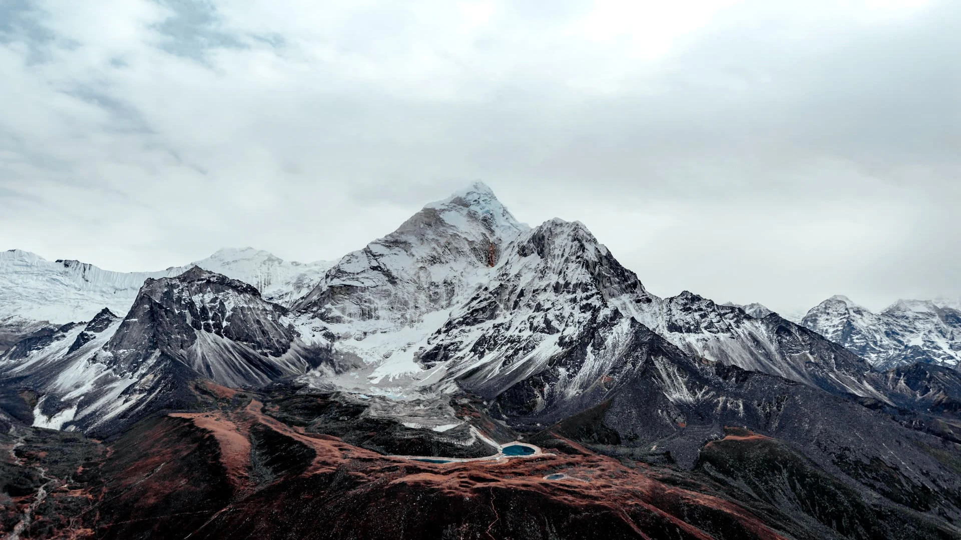
Lassen Peak has the highest known winter snowfall amounts in California. There is an average annual snowfall of 660 in (1,676 cm), and in some years, more than 1,000 in (2,500 cm) of snow falls at its base elevation of 8,250 ft (2,515 m) at Lake Helen. The Lassen Peak area receives more precipitation (rain, sleet, hail, snow, etc.) than anywhere in the Cascade Range south of the Three Sisters volcanoes in Oregon. Though the volcano lies too far to the south to support a permanent snow cover over the entire mountain, the heavy annual snowfall on Lassen Peak creates fourteen permanent patches of snow on and around the mountain top, despite Lassen's rather modest elevation, but no glaciers.
Lightning has been known to strike the area frequently during summer thunderstorms. These can initiate fires. On July 23, 2012, a lightning strike started the Reading Fire 1 mi (1.6 km) to the northeast of the Paradise Meadow region, which was contained after it reached an area of 28,079 acres (113.63 km2). During the summer and fall of 2016, the National Park Service carried out prescribed fires to help reduce the amount of fuel available for fires in the Mineral Headquarters area and the Manzanita and Juniper Lake areas, respectively.
Lassen Peak lies near the southern end of the Cascade Volcanic Arc, at the western edge of the Basin and Range Province. Like other Cascade volcanoes, it was fed by magma chambers produced by the subduction of the oceanic Juan de Fuca tectonic plate under the western edge of the continental North American tectonic plate. The region is also affected geologically by the Cascadia subduction zone, which dips eastward beneath the western coast of North America in the Pacific Northwest, as well as horizontal stretching to the east of crustal rock in the Basin and Range Province. About 3 million years ago, the southern limit of active volcanoes in the Cascades corresponded to the Yana Volcanic Center 19 mi (30 km) to the south of Lassen Peak, but currently the southern edge of the Lassen Volcanic National Park now marks the same border, indicating that the Cascade Arc's southern end migrates at a rate of 0.4 to 1 in (1.0 to 2.5 cm) annually.
Leave a comment
0 comments